Cave Research Group · since 2008

We survey, map and record the underground

OBRUK is the shared home of volunteer cavers researching Anatolia's caves and historic underground structures. Exploring, mapping and publishing since 2008.

2008Founded
109Mapped cave records
14Published reports
30Papers and posters
20Provinces surveyed

What we do

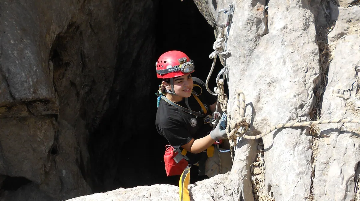
Exploration and survey

We explore, survey and map natural caves to international standards — from Keş Mountain Sinkhole to Insuyu.

Underground heritage inventories

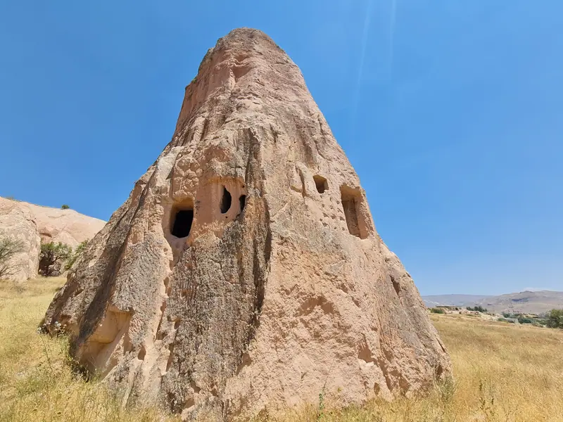
With municipalities and museums we document underground cities, rock-cut settlements, water tunnels and dovecotes.

Publishing and sharing

Through OBRUK Magazine, reports, congress papers and the press, we make our findings permanent.

Featured projects

All research →
Ongoing

Ongoing · Nevşehir

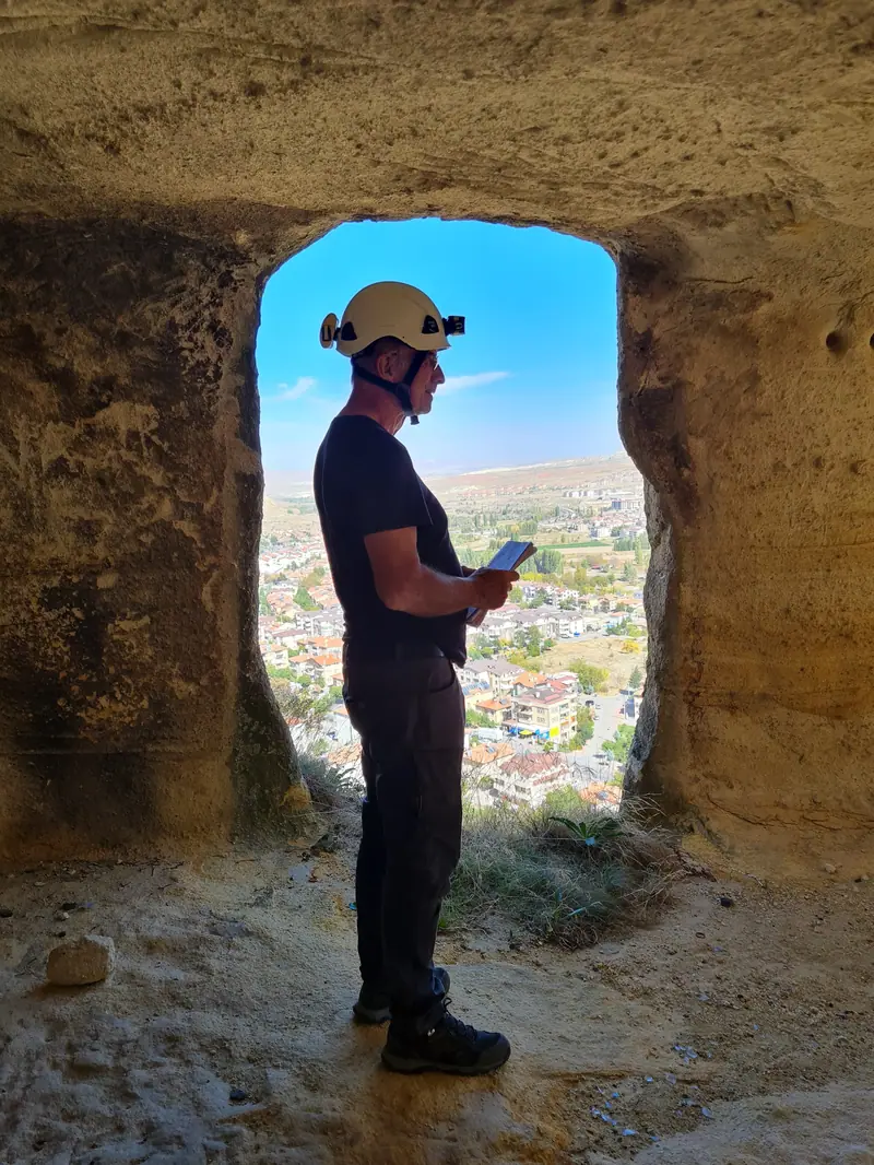
Underground Structures Inventory of Ürgüp

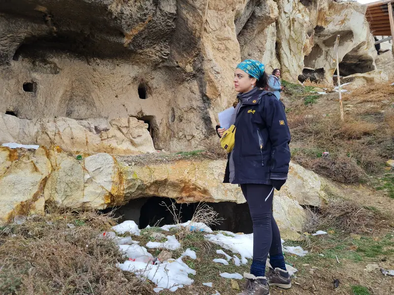
Under a protocol signed with the Municipality of Ürgüp, the underground cities, rock-cut settlements and tunnels within the district are being documented, surveyed and entered into GIS — so that this heritage, threatened by rapid construction, can be recorded and protected.

Municipality of Ürgüp
Long-term

Since 2013 · Kayseri

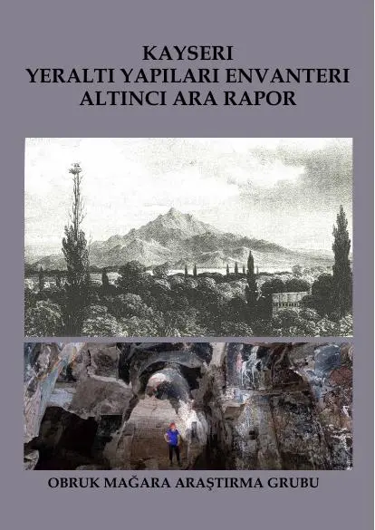
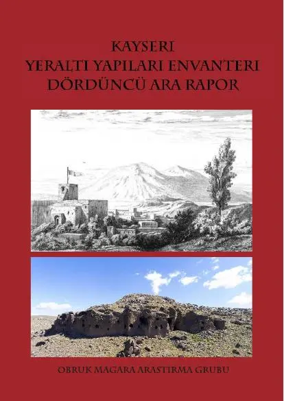
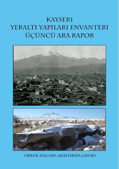
Underground Structures Inventory of Kayseri

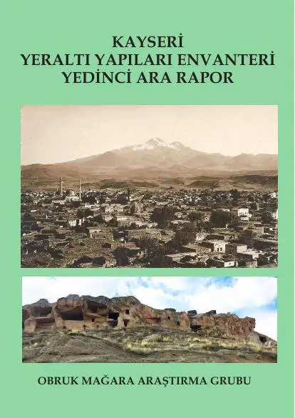
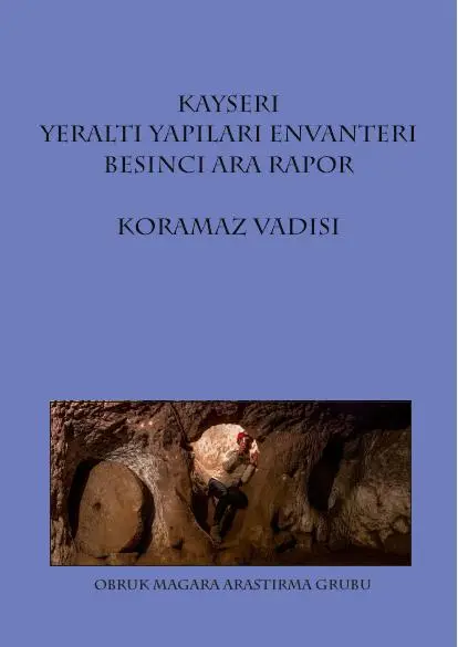
Underground cities, rock-cut settlements, churches and dovecotes have been surveyed across the whole province of Kayseri; more than 29 underground cities and countless rock-cut settlements were discovered. Our work in the Koramaz Valley contributed to its inclusion on the UNESCO World Heritage Tentative List. Seven interim reports have been published.

Kayseri Metropolitan Municipality, ÇEKÜL Foundation

Reports: Kayseri 1st Interim Report · Kayseri 2nd Interim Report · Kayseri 3rd Interim Report · Kayseri 4th Interim Report · Kayseri 5th Interim Report – Koramaz Valley · Kayseri 6th Interim Report · Kayseri 7th Interim Report

Long-term

2013 – 2015 · Nevşehir

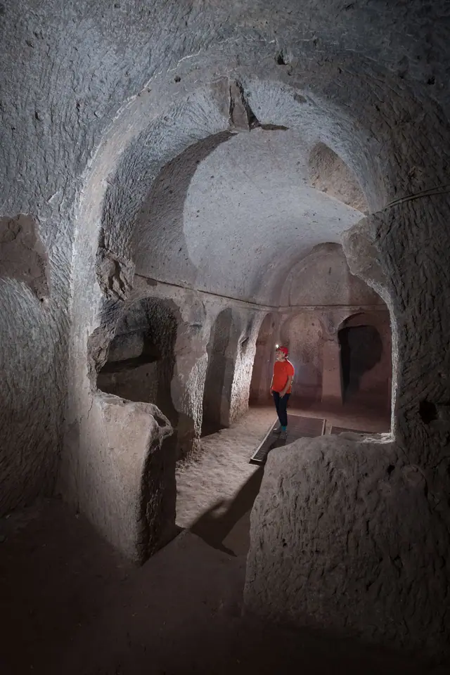
Mapping the Underground Cities of Cappadocia

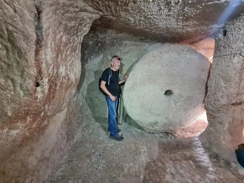
None of Cappadocia's underground cities — not even those open to tourism — had a detailed plan. Derinkuyu, Mazıköy, Tatlarin and Saint Mercurius (Saratlı) were surveyed level by level and mapped.

Nevşehir and Aksaray Museum Directorates

Completed

2012 – 2018 · Gaziantep

Underground Structures Inventory of Gaziantep

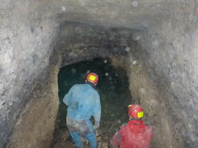
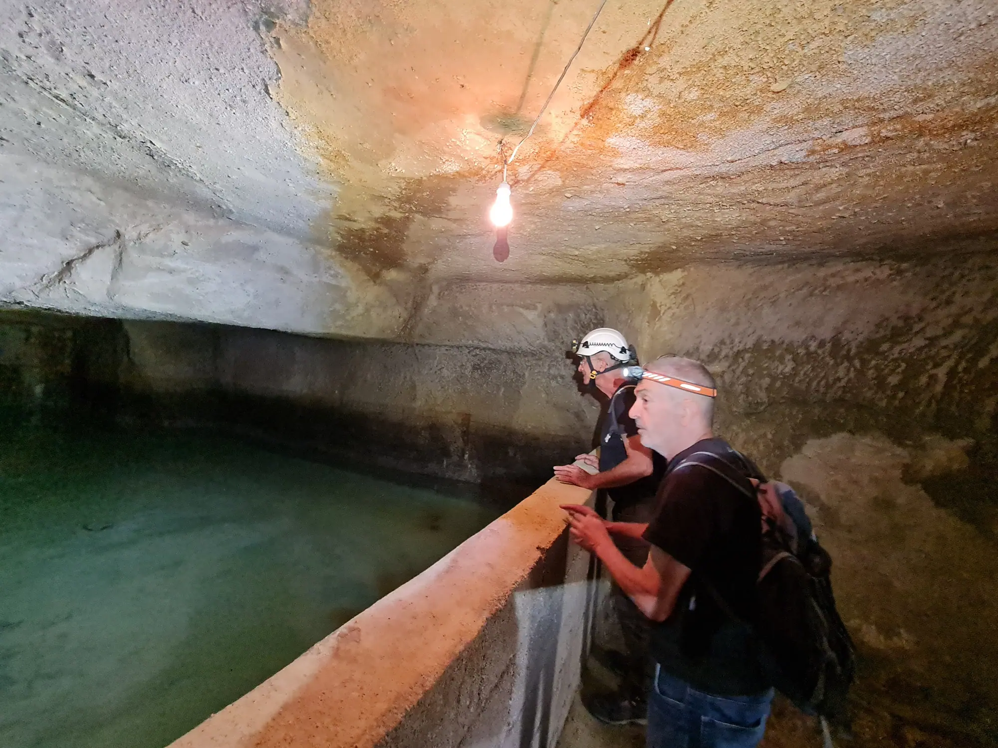
Hundreds of man-made caves beneath the old town, the water distribution chambers known as "kastel" and the "livas" channels connecting them were surveyed, mapped and overlaid onto the city map. The livas and kastels were placed on the UNESCO World Heritage Tentative List in 2018.

Gaziantep Metropolitan Municipality, ÇEKÜL Foundation

Reports: Gaziantep 2012 – Underground Structures Report · "Culture Above and Below – Gaziantep" Photo Exhibition

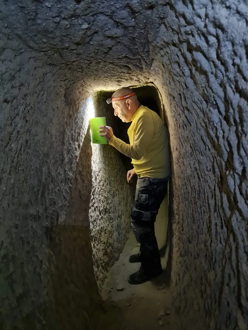
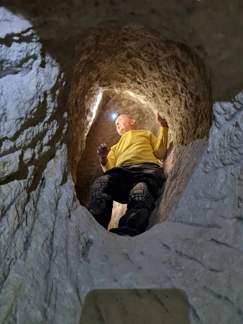
From the field
From the field
From the field
From the field
From the field

A strong OBRUK for the next generation of cavers

OBRUK grows with every new caver who surveys, draws, writes and shares. Would you like to join our fieldwork or contribute to the maps and the magazine?

Get in touch